The Front as a Shifting Field of Contact
Another Day of LifeThe Front as a Shifting Field of Contact is the book’s account of a battlefield without a stable line: isolated units and roads become fronts when opposing forces meet, while the spaces between them remain difficult to control or even describe. Its geography turns military planning into a contest with distance, water, transport, and uncertainty, and makes the map an incomplete record of a war whose decisive points keep moving.
A Front Made of Points
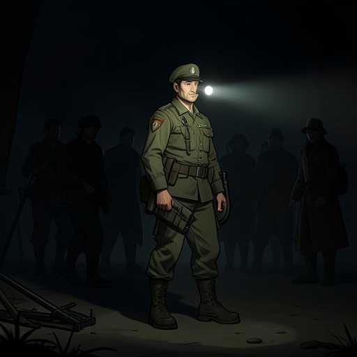
At Humbe, Comandante Farrusco contrasts the front he learned to recognize in Europe—trenches and barbed wire forming a visible line—with the conditions in southern Angola. Here, the land is too extensive and the forces too sparse to make a continuous boundary. Water determines where troops can remain: a unit holds on to its supply because without it the unit dies, while the hundred-kilometre stretches between water sources are effectively empty. The front therefore consists of points, including mobile points formed by individual units. When opposing units encounter one another, a potential front becomes a real one; an ambush can make a road or any other location a battlefield. The result is a war in which a traveller may cross the country safely or die close to where he started, with no dependable line to show where danger begins.
That instability has immediate consequences for movement. Farrusco’s unit numbers 120 and is the only unit across a southern region described as one-third the size of Poland, bounded by long distances between Lubango, the border, the Atlantic, and Zambia. The road is its sole route through the bush; retreat on foot is too far, and available transport cannot carry everyone. At Humbe, an armoured vehicle on the road to Ruacana could paralyse the route, while the unit has no anti-tank weapons to answer it. Geography is not background to the fighting: it determines what the unit can defend, how it can move, and how easily it can be trapped.
Roads, Supplies, and Exposure
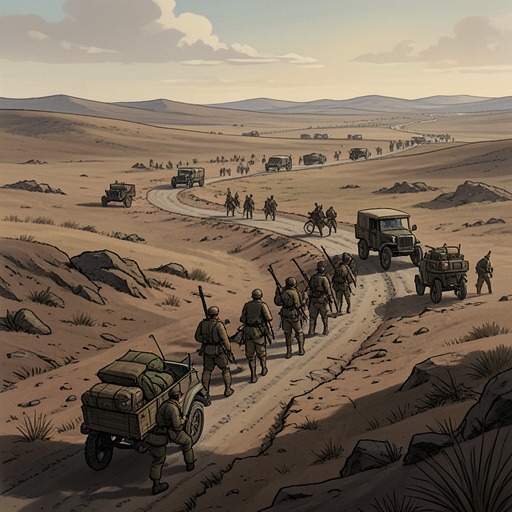
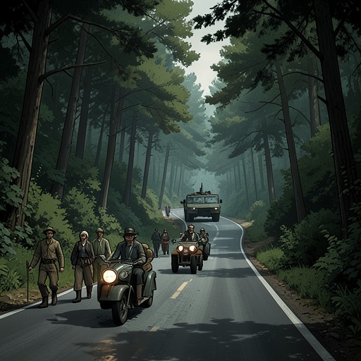
The journey toward Pereira d’Eça makes the road’s double function plain. It is the only practical connection to the unit there, but convoys have been lost in ambushes and none has reached the isolated force for a month. The convoy’s old truck, its small number of soldiers, and the long stretch of road ahead turn travel itself into exposure. A burned-out truck and the remains of other lost convoys mark the route as a record of failed passage. The bush offers no easy alternative: those who leave the road risk dying of thirst, while those who stay on it can be ambushed. There is no perfect escape from the geography.
The journey also shows how time becomes a tactical resource. Diogenes explains that attackers are more likely to use the road in the cooler hours, while at noon the heat drives combatants into the shade and weakens their activity. The convoy therefore travels in the hottest part of the day, hoping the conditions will make ambush less likely. This is not control of the terrain so much as an attempt to exploit a temporary lull within it. Elsewhere, the consequences of logistical weakness are equally direct: after the seizure of Caxito, wounded soldiers wait in a truck for gasoline, while ammunition shortages threaten the unit’s ability to defend the town. A victory can be won and still remain precarious when fuel, ammunition, transport, or medical support runs short.
Maps and the Limits of Legibility
A staff map at Pereira d’Eça compresses this exposed landscape into a few stark marks. One tack identifies the isolated unit; other tacks show positions at Lubango, Mocçâmedes, and Matala. A thick, stepped black line traces the road north, crosses mark the border with Namibia, and symbols distinguish bush, desert, the Atlantic, and a park. Red and black figures record the dead on each side, but the tally has no line for a final total: death’s account remains open. The map gives the unit a route and a position, yet its empty spaces also register how much territory lies beyond its reach. The narrator’s wish to travel that black line north alive turns the map from an abstract staff instrument into a measure of immediate peril.
Maps also reveal the gap between a planned war and the war as experienced. Operation Orange set out to occupy Luanda by 10 November 1975, when the last Portuguese units were scheduled to leave under the Alvor Agreement, and to announce independence the following day under an FNLA–UNITA coalition government. Its plan coordinated advances from the south, north, and east along named roads toward the capital. Yet in Luanda, people arguing over a map could not agree on where the front ran, which cities were held, or who controlled particular roads. As their fingers swept over it, cities, roads, and rivers were rubbed away. The carefully plotted axes of an operation and the erased map in the hotel expose two different failures of certainty: military plans may organize movement on paper, but control on the ground remains changeable and contested.
Battle, Rumour, and Uncertainty
The shifting front is also made harder to locate by the way information travels. Leaflets dropped over Luanda claimed that Holden Roberto’s army was outside the capital and urged the killing of Eastern European commanders; the narrator, the only person from Eastern Europe then in Angola, faced the threat without a reliable authority to turn to. Later, rumours that armoured vehicles were nearing the city multiplied into contradictory reports about their numbers and colours. With no way to verify them, people pointed to different places on the map as if each might be the front. Information does not settle the geography; it can intensify the confusion surrounding it.
The soldiers’ actions show another consequence of a battlefield they cannot fully read. Comandante Ndozi describes inexperienced troops firing wildly because noise and the act of shooting help them manage fear, even when they are not accurately engaging the enemy. In early skirmishes, volleys could frighten an equally inexperienced opponent into retreat; in one assault, however, the troops fired away their ammunition before reaching the objective. The mobile front thus depends not only on where units are but on whether they can distinguish an enemy from uncertainty, conserve what they need, and act under fear. Its defining condition is not simply movement across territory, but the repeated conversion of uncertain space into a brief, consequential encounter.